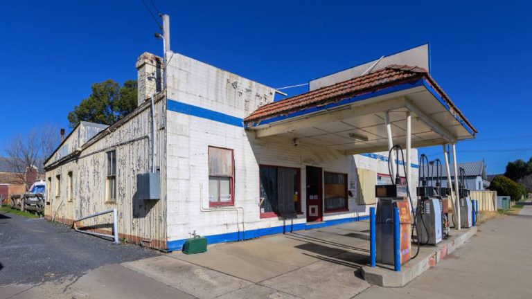
The CRJO is developing a spatial data mapping tool to assist Councils identify land parcels and sites containing unknown or legacy contamination substances of a combustible or accelerant nature that pose a hazard risk. The mapping tool will allow Councils to identify current and past business activity for land parcels dating back to the mid 1940’s. This information is crucial in the risk ranking of hazardous land parcels and the future management and remediation of these volatile areas within our communities.